SIM2Field
Layher Commercial & Industrial
SIM2Field
FROM DIGITAL SCAFFOLD MODELS
TO PRECISE FIELD EXECUTION
SIM2Field extends Layher’s digital scaffold workflow beyond planning and into field execution. Working directly with 3D scaffolding model data from LayPLAN CAD, SIM2Field creates a continuous digital process from engineering through construction by transferring digital planning data directly to the construction site for accurate field execution.
By connecting digital planning with real-world installation, SIM2Field helps reduce layout errors, minimizes paper drawings, improves installation efficiency, and supports accurate scaffold assembly on complex industrial and commercial projects.

ONE CONNECTED DIGITAL WORKFLOW
Accurate Field Execution Starts with the Digital Scaffold Model
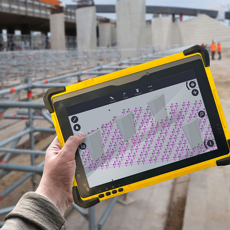
SIM2Field extends Layher’s connected digital scaffold workflow by bringing approved LayPLAN CAD model data directly to the construction site. Using digital layout technology, total station positioning, and tablet-based field guidance, crews can accurately position and assemble scaffolding while reducing manual measurements, paper drawings, and installation errors.
01.
EXISTING CONDITIONS
Identify the structure and current site conditions
02.
3D LASER SCAN
Capture existing conditions with millimeter accuracy
03.
DIGITAL TWIN
Create an accurate digital representation of the site
04.
LAYPLAN PLANNING & MATERIAL OPTIMIZATION
Plan the scaffold and optimize material requirements
05.
DIGITAL DESIGN & ENGINEERING
Develop and coordinate the scaffold design
06.
LOGISTICS & MATERIAL COORDINATION
Coordinate materials and project logistics
07.
SIM2FIELD &
SIM2FIELD XR APP
Transfer digital planning information to the field and support scaffold assembly
08.
FIELD ASSEMBLY
Support accurate and efficient scaffold assembly
09.
COMPLETED SCAFFOLD PROJECT
Complete the project through one coordinated workflow
Rather than relying on conventional layout methods, SIM2Field connects digital planning with field execution by transferring approved scaffold model data directly to the jobsite. The result is greater installation accuracy, improved efficiency, reduced layout errors, and a seamless transition from engineering to scaffold assembly.
WHY USE SIM2FIELD?
Accurate field execution begins with reliable digital planning. SIM2Field connects approved LayPLAN CAD model data directly to the construction site, helping teams position scaffolding accurately, reduce manual measurements, minimize paper drawings, and improve installation efficiency on complex industrial and commercial projects.
IDEAL APPLICATIONS
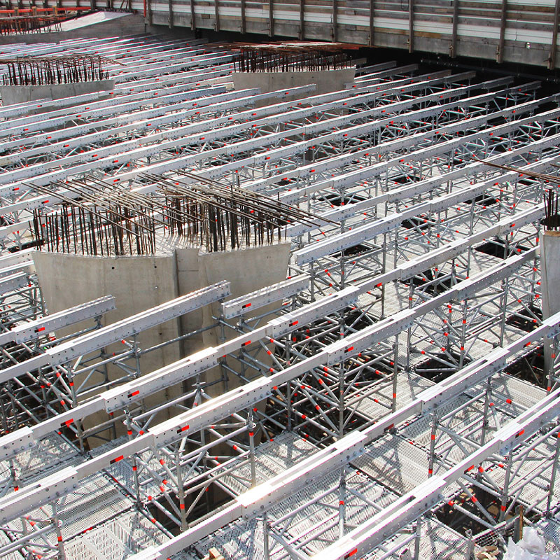
SIM2Field is designed for projects where precise scaffold positioning, digital layout, and accurate field execution are essential. By transferring approved LayPLAN CAD model data directly to the construction site, project teams can improve installation accuracy, reduce manual measurements, and streamline scaffold assembly across complex industrial and commercial environments.
SIM2Field is ideal for:
- Industrial facilities and processing plants
- Refineries and petrochemical sites
- Power generation facilities
- Bridge and infrastructure projects
- Complex shoring applications
- Large commercial construction projects
- Projects requiring precise scaffold positioning
- Structures with complex geometry or difficult measurement conditions
KEY FIELD CAPABILITIES
Digital Positioning for Accurate Field Execution.
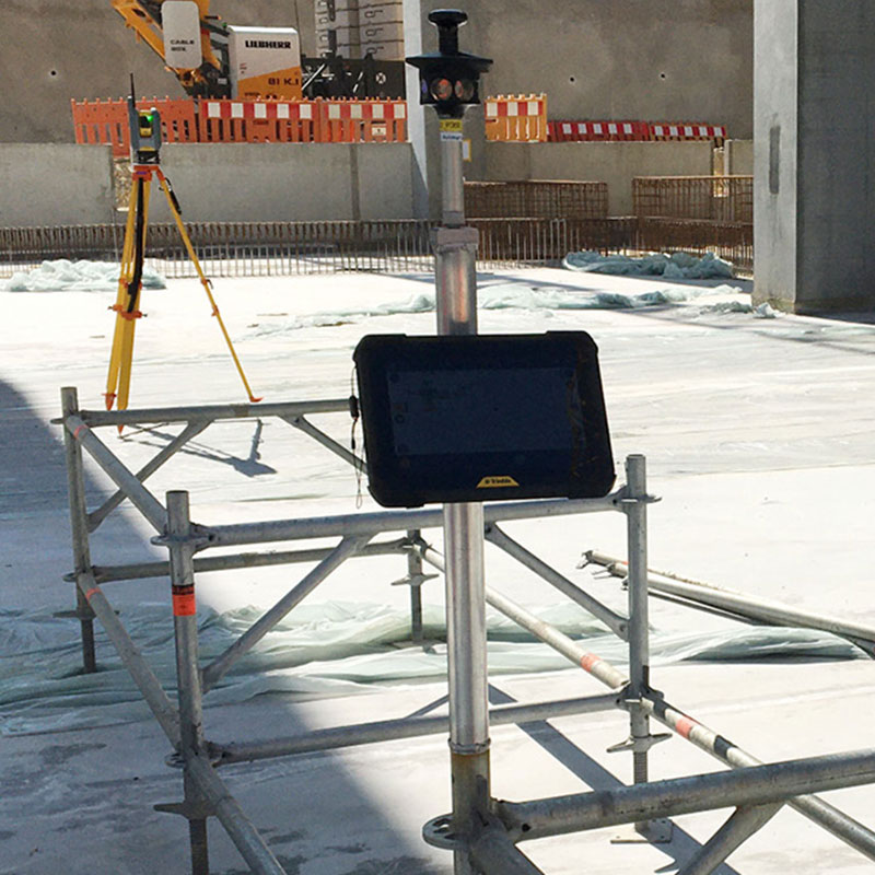
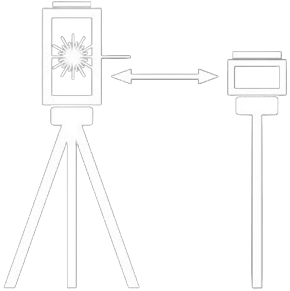
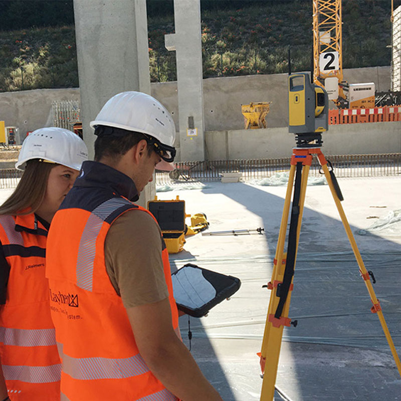
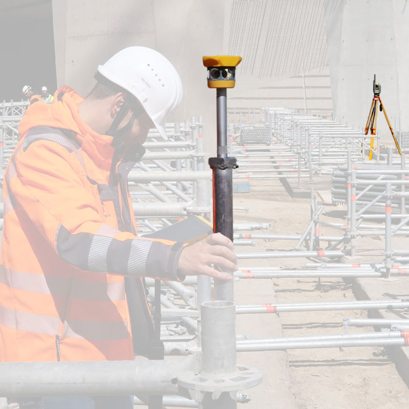
SIM2Field is designed to work with approved LayPLAN CAD scaffold models, enabling field crews to accurately transfer digital scaffold layouts from engineering to the construction site. By combining total station technology, predefined project reference points, and tablet-based field guidance, scaffold layouts can be positioned accurately while reducing manual measurements and installation errors.
Key capabilities include:
- Transfer approved LayPLAN CAD models directly to the field
- Position scaffolds using total station technology
- Align layouts using predefined project reference points
- Guide crews with tablet-based field positioning
- Reduce paper drawings and installation errors
- Accelerate the transition from digital planning to field execution
FROM DIGITAL PLANNING TO
FIELD EXECUTION
From Digital Planning to Reliable Field Execution
SIM2Field is more than a digital positioning tool—it’s part of Layher’s fully integrated digital scaffold workflow. By connecting LayPLAN CAD planning with field layout and scaffold installation, project teams gain greater confidence that the approved design is accurately transferred to the jobsite.
Whether supporting industrial turnarounds, commercial construction, or complex infrastructure projects, SIM2Field helps reduce installation errors, improve coordination between engineering and field crews, and create a more efficient scaffold assembly process from start to finish.
Approved LayPLAN CAD models are transferred directly to the jobsite, allowing field crews to establish scaffold locations with greater accuracy, improved consistency, and reduced reliance on conventional layout methods.
Key Benefits
- Fully integrated with LayPLAN CAD planning
- Accurate transfer of approved LayPLAN CAD models to the field
- Reduces manual measurements and layout errors
- Supports faster, more consistent scaffold installation
- Improves communication between engineering and field crews
- Helps deliver safer and more efficient project execution
- Backed by Layher’s engineering expertise and digital solutions
PROJECT REQUIREMENTS
Requirements for Accurate Field Positioning
SIM2Field operates as part of Layher’s connected digital scaffold workflow, transferring approved LayPLAN CAD model data directly to the construction site for accurate field positioning and installation. Accurate field positioning begins with approved digital planning data and the proper field equipment, ensuring scaffold layouts are transferred from the office to the construction site with confidence.
Requirements include:
- Approved LayPLAN CAD scaffold model
- Established project reference points
- Total station and prism for field positioning
- Tablet device for digital field guidance
- Optional 3D laser scanning when existing conditions require digital capture
Why It Matters
Meeting these requirements enables project teams to accurately position scaffold components, reduce manual measurements, improve installation efficiency, and maintain consistency between digital planning and field execution.