3D LASER SCANNING

Layher Commercial & Industrial
3D Laser Scanning
Capture Existing Conditions with Millimeter Accuracy
Successful scaffold projects begin with accurate information. When existing structures lack reliable drawings or have changed over time, planning becomes more difficult, field adjustments increase, and project uncertainty grows.
Layher’s 3D Laser Scanning captures existing conditions with millimeter accuracy, creating a precise digital foundation for scaffold planning, engineering, logistics, and field assembly. By starting with accurate site data, project teams can improve planning certainty before work begins.
This builds on Layher’s Digital Scaffold Solutions by providing the reliable project information needed to support every stage of the scaffold lifecycle.

ONE CONNECTED DIGITAL WORKFLOW
Accurate Site Data Starts the Digital Scaffold Workflow
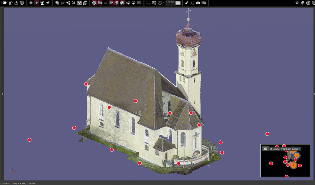
3D Laser Scanning captures the existing conditions that form the starting point of Layher’s Digital Scaffold Solutions. The captured point cloud becomes the digital foundation for the entire scaffold lifecycle, allowing project teams to work from the same accurate project information—from planning through field assembly.
01.
EXISTING CONDITIONS
Identify the structure and current site conditions
02.
3D LASER SCAN
Capture existing conditions with millimeter accuracy
03.
DIGITAL TWIN
Create an accurate digital representation of the site
04.
LAYPLAN PLANNING & MATERIAL OPTIMIZATION
Plan the scaffold and optimize material requirements
05.
DIGITAL DESIGN & ENGINEERING
Develop and coordinate the scaffold design
06.
LOGISTICS & MATERIAL COORDINATION
Coordinate materials and project logistics
07.
SIM2FIELD &
SIM2FIELD XR APP
Transfer digital planning information to the field
08.
FIELD ASSEMBLY
Support accurate and efficient scaffold assembly
09.
PROJECT COMPLETION
Complete the project through one coordinated workflow
Rather than relying on outdated drawings or manual field measurements, Layher connects every stage through one coordinated digital workflow that improves planning certainty, project coordination, and project performance.
Why Start with 3D Laser Scanning?
Accurate existing conditions lead to better project decisions throughout the scaffold lifecycle.
IDEAL APPLICATIONS
Layher’s 3D Laser Scanning supports projects where accurate existing conditions are essential, including:
- Industrial facilities
- Refineries and petrochemical plants
- Power generation facilities
- Data centers
- Bridges and transportation infrastructure
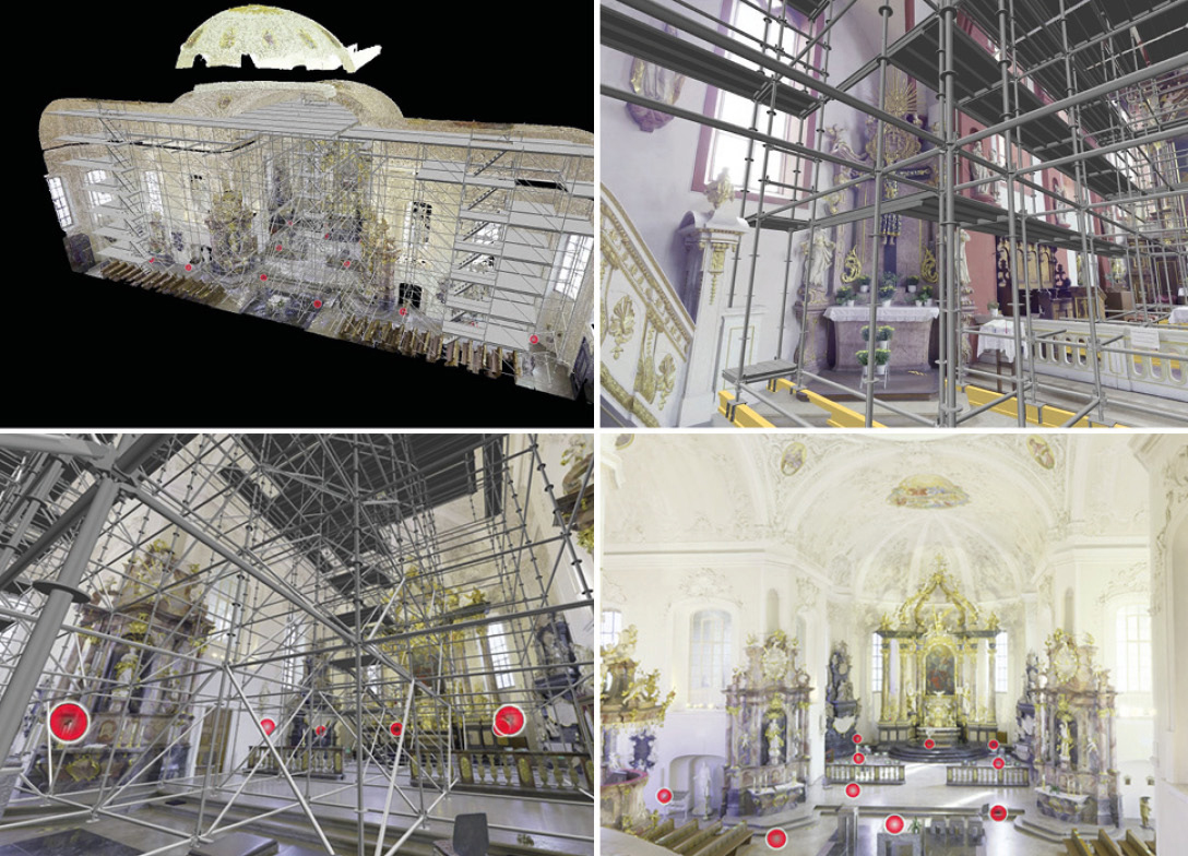
- Historic buildings and restoration projects
- Churches and monuments
- Shipbuilding and marine facilities
- Aircraft scaffolding
- Complex commercial structures
- Event technology and event locations
The technology can be used indoors or outdoors, including low-light environments, and captures highly accurate site data for projects where existing drawings are incomplete or unavailable.
BETTER INFORMATION. BETTER DECISIONS.
The Versatile Solution
When every phase of a project begins with accurate site data, planning becomes more predictable, engineering is more precise, logistics improve, and field teams can execute with greater confidence.
3D Laser Scanning is more than a surveying tool. It captures the existing conditions that create the accurate digital foundation connecting planning, engineering, logistics, and field assembly through one coordinated workflow.
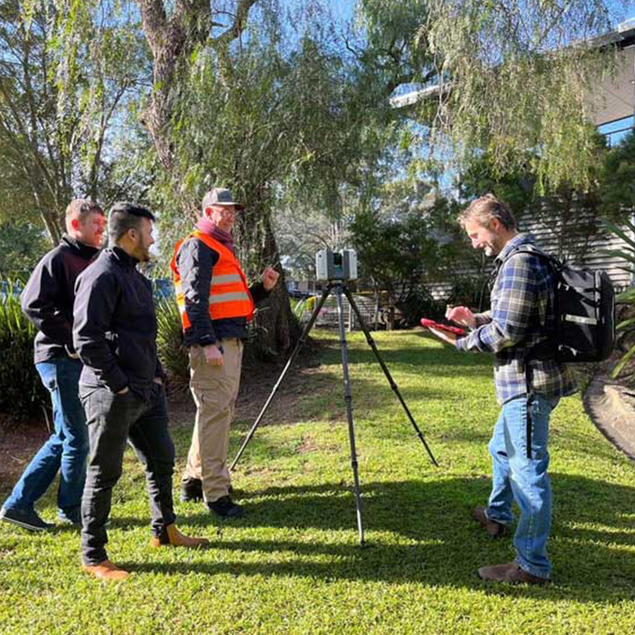
WHY CHOOSE LAYHER FOR 3D LASER SCANNING?
Accurate scanning is only the beginning.
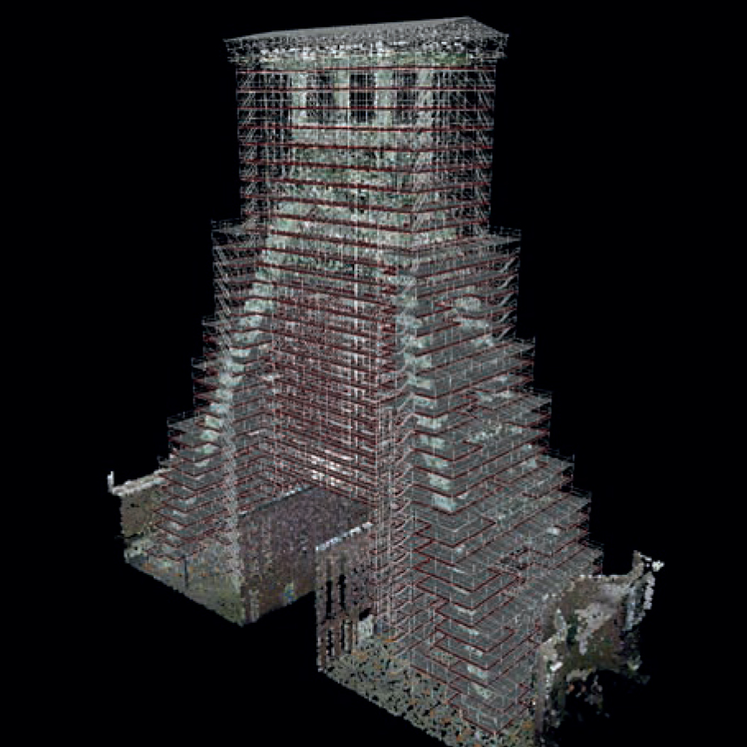
Layher combines millimeter-accurate digital surveying with scaffold planning, engineering, and project coordination. Captured site data is prepared for use in LayPLAN CAD and integrated into Layher SIM, helping project teams plan scaffolding around actual site conditions before field assembly begins.
Layher’s connected approach supports indoor and outdoor scanning, including low-light environments, with a scanning range of approximately 100 meters. The resulting data provides greater planning certainty for materials, costs, and project deadlines.
By connecting accurate existing conditions with digital scaffold planning, Layher provides the reliable project information needed for better coordination, more predictable planning, and more efficient scaffold execution.